Iglea

This post on Iglea is adapted and condensed from my book, King Alfred: A Man on the Move, available through Amazon and bookshops.

The Anglo-Saxon Chronicles tell us that one day after Alfred’s troops came together at Egbert’s Stone, they went to a place called Iglea, a place that is referred to in the Latin of Asser (companion and “biographer” of King Alfred) as Æcglea. Unfortunately, we do not know with certainty the location of this place.

Æcglea was Alfred’s final stop before the Battle of Ethandun, which took place in Wiltshire at Edington or, less likely in my opinion, at the location of the Iron Age hillfort called Bratton Camp. In another post I explained that the most probable location for Egbert’s Stone (King Alfred’s previous stop) was the Upper Deverills, and it seems to me that after leaving there he would have had two main routes to get to the battle site. One would be to follow the Ridgeway to skirt around the north-west of Salisbury Plain in order to reach Bratton Down or to continue on to Edington. The other option being to go straight across Salisbury Plain instead of around it. It seems likely that the location of the encampment at Iglea would depend on which route was taken. Alfred had lost Wessex and was operating in enemy territory and it therefore seems likely that he would have gone across Salisbury Plain rather than around it in order to avoid as many significant settlements as possible, and this is what I focus on in this post. In the video below I refer to Edington being close to Sutton Veny. It is indeed not far, but it is on the other side of Salisbury Plain.

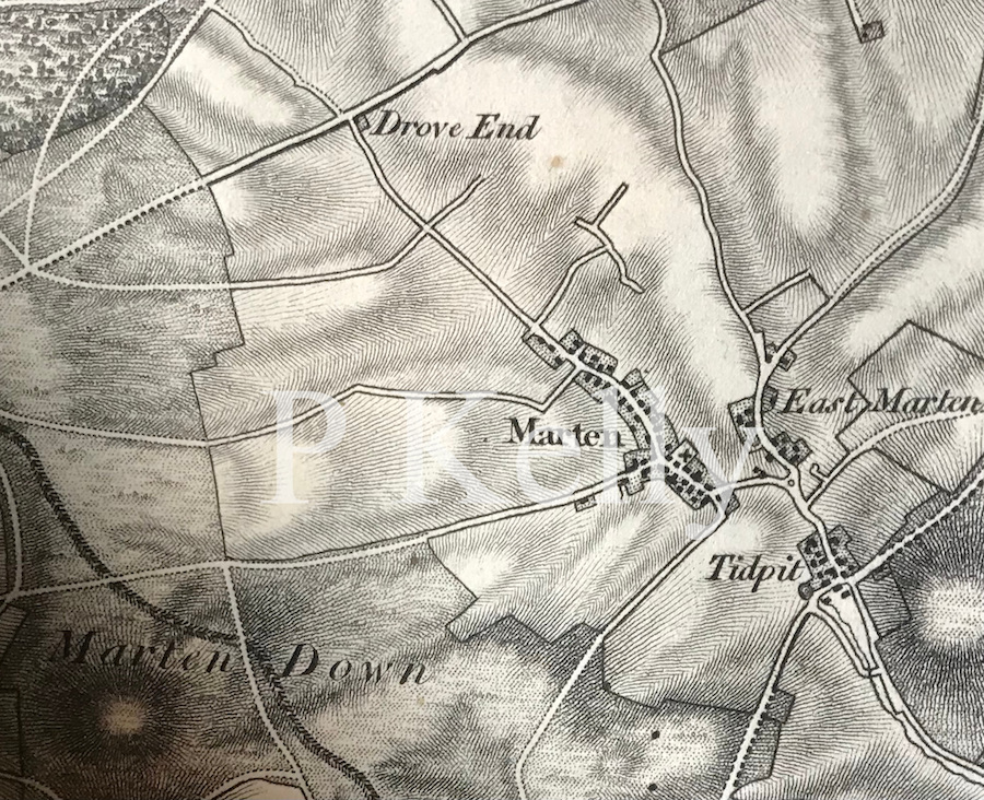
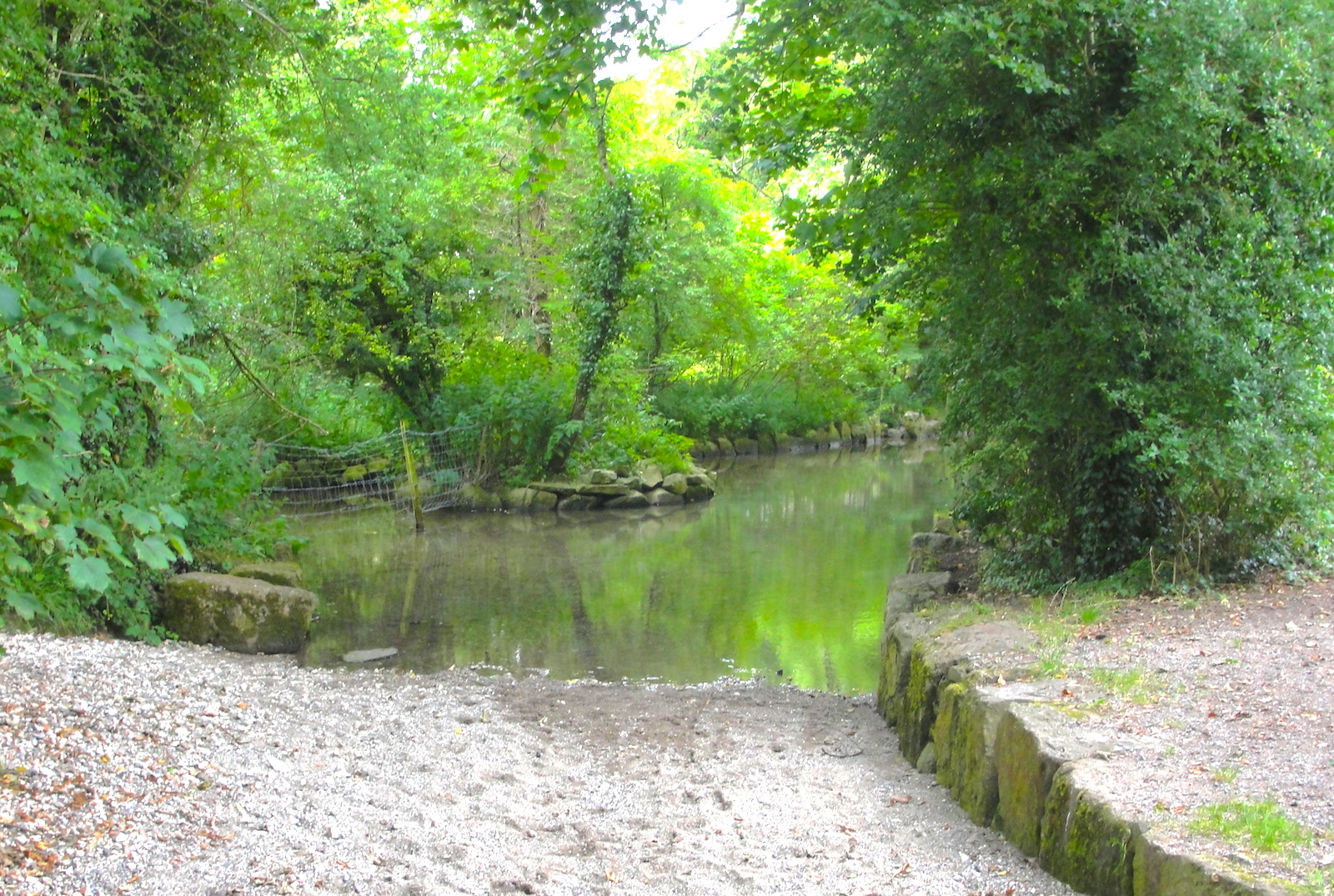
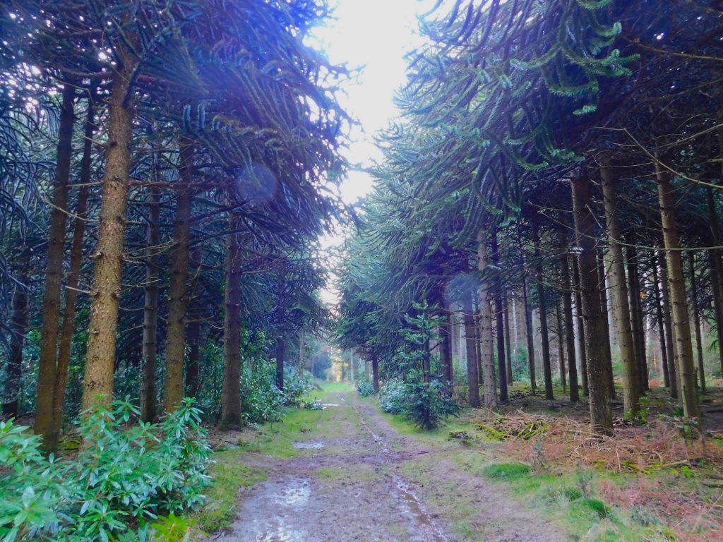
Iglea is similar phonetically to “Iley” and there was an ancient meeting place called Iley Oak in what is today known as Southleigh Wood, previously called Sowley Wood, to the south-west of Sutton Veny. The precise location of Iley Oak in this area may have been where five roads and paths used to meet at a point where today the access to a farm comes off the road connecting Longbridge Deverill to Sutton Veny at the southern edge of Southleigh Wood. I find it striking, and perhaps relevant, that there are the remains of a henge very close to this location. The henge is on private land and is not easy to see. Please be careful if you try to view it from the very fast (nearly) adjacent road.

Although they date to the Late Neolithic, it is possible that some henges, or the places at which they were located, might have retained a societal significance beyond that period, perhaps even through Anglo-Saxon times. In the absence of other evidence, I favour the site of this henge as the site of Iglea/Æcglea.

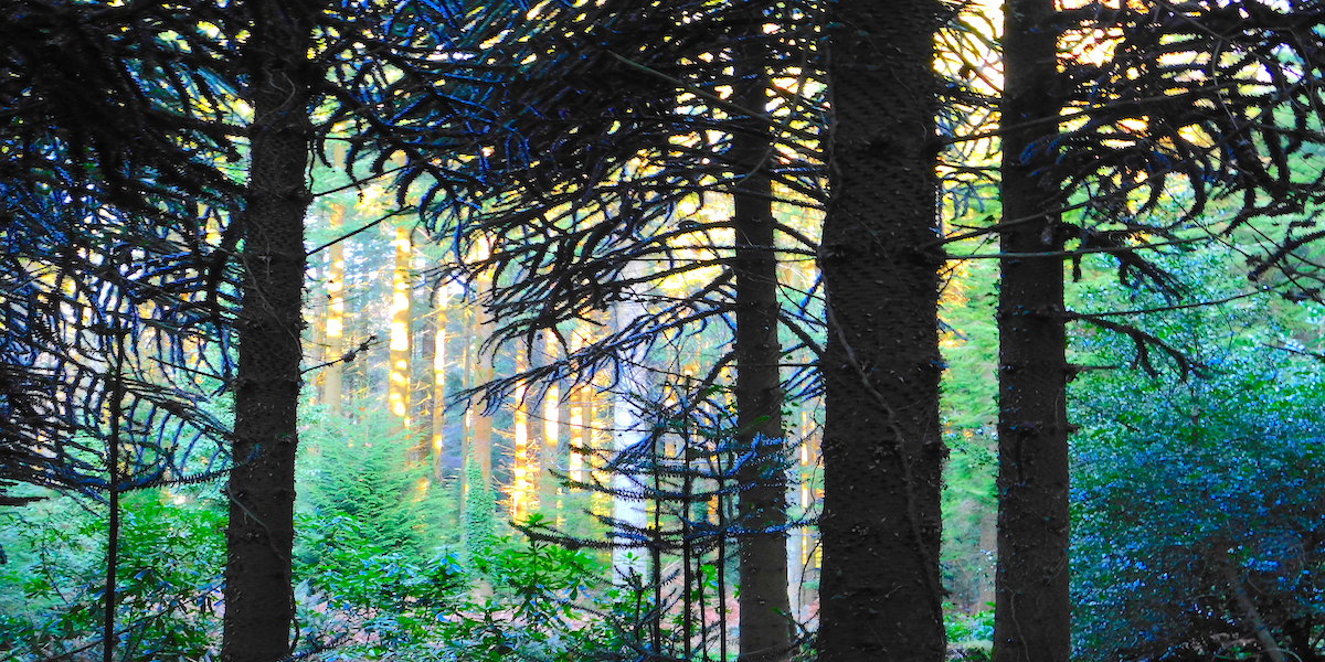
Southleigh Wood provides one more tempting possibility, which is to be found immediately north of the location described above. I refer to Robin Hood’s Bower. I am aware that this has been put forward by others as the site of Iglea/Aecglea but, for me, it does not outweigh the location of the henge. This is a small ancient enclosure that, like the henge referred to above, would have been present long before the time of King Alfred. The outline of the enclosure is clearly discernible and it has been enigmatically planted with many monkey-puzzle trees.

Robin Hood's Bower (possibly Iglea), near Sutton Veny, Wiltshire
The track running across the centre of Robin Hood’s Bower, near Sutton Veny, Wiltshire

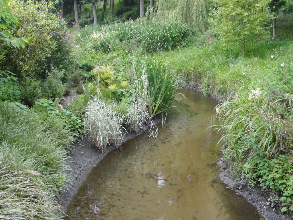
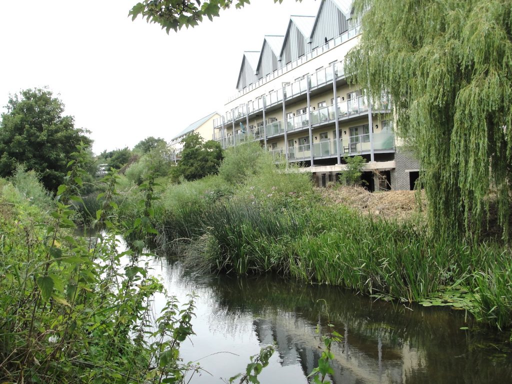
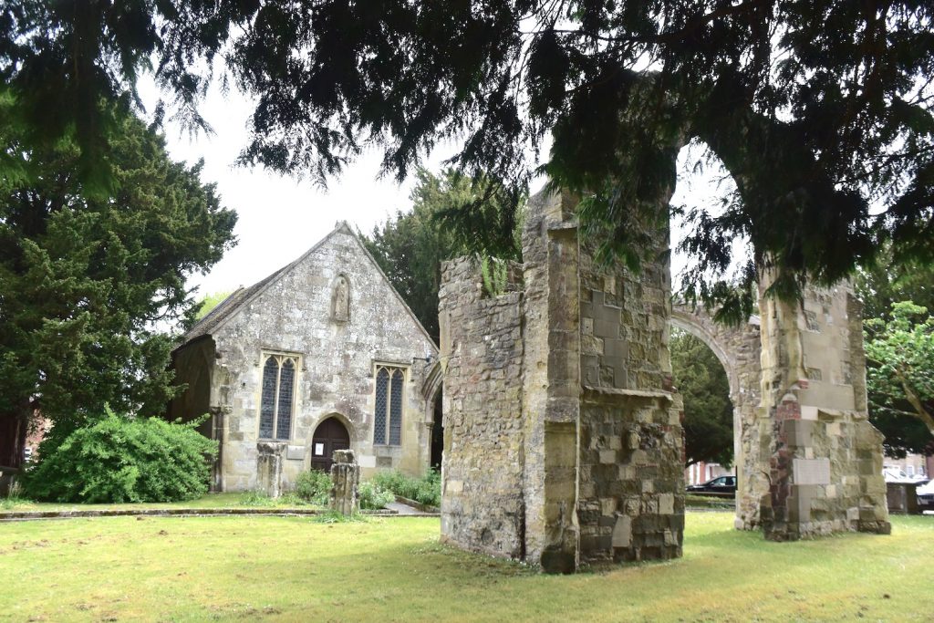
It has also been suggested that Iglea was at nearby Bishopstrow. The argument that Iley Oak was located here seems to be tied up with an idea that Iglea would probably have been an island (with the Ig part of the word Iglea meaning island) in the River Wylye. There is an island in the Wylye as it flows past Bishopstrow at Boreham Mill and the road that leads north out of Bishopstrow goes right across the middle of it (look out for the two bridges). However, it seems that we cannot prove that there was an island there in Alfred’s time (it could be the result of later human alteration to the watercourse). All in all, I did not find the arguments for this location to be strong enough to outweigh those that can be applied to the location near the henge at the south edge of Southleigh Wood. I did, however, find the argument that Ig indicates an island sufficiently plausible to make this my second favourite. Bishopstrow could also be relevant as a place where legend has it that the staff of St Aldhelm had grown into an ash tree. St Aldhelm’s church at Bishopstrow is 14th century, but it could have been built over an earlier Saxon church. It is therefore possible, had he been close by, that the pious Alfred could have prayed here before the final march to the battle at Ethandun.

St Aldhelm's church, Bishopstrow, Wiltshire
St Aldhelm’s church, Bishopstrow, Wiltshire

There is another (in my opinion, less likely) candidate for Iglea where an unusual number of paths met to the south of Sutton Veny. This, along with possibilities relating to King Alfred going across Salisbury Plain instead of across it, will have to wait for a later post.

There is much more about the travels of King Alfred in my book, including maps and references. Tap or click the image of the front cover below.

Martin Down and the Battle of Meretun, 871 AD.

This post on Martin Down and the Battle of Meretun is adapted from, and provides additional information for, my book, King Alfred: A Man on the Move, available from Amazon and book shops.

The Battle of Meretun took place two months after the battle at Basing. Alfred and his brother were fighting against the Vikings, but lost, which is what also happened at Basing. There appear to be two main candidates for the location of this battle, one being Martin in Hampshire and the other being Marden in Wiltshire. However, we have very little to go on and other places with similar names are possible. Merdon Castle, in Hampshire, is another possibility, although I have been unable to discover whether this name was acquired after the Norman Conquest. The place that seems to make the most sense to me is Martin in Hampshire, which is a village just south of the A354 main road between Salisbury and Blandford Forum.

King Æthelred (Alfred’s elder brother) died after the Battle of Meretun and he was buried at Wimborne in Dorset. It is therefore possible that he died from wounds sustained in battle but it is also possible that he lived a little longer and died of something else. If he had died of his wounds then it may be relevant to point out that Wimborne is not very far from Martin (about 14 miles). Indeed, the Roman road known as Ackling Dyke runs past Martin on its way to Badbury Rings, which is only four miles from Wimborne.

Bokerley Ditch, Martin Down, Hampshire.

The geographic feature called Martin Down lies a short distance to the west of Martin and there one can explore the famous Bokerley Ditch, which pre-dates the time of Alfred, but perhaps could have been used strategically in battle. Bokerley Ditch also cuts across a Roman road so it could have been used for either side to attack the other coming up that route. To the north this Roman road is still a bridleway and to the south it is now under the A354, so it seems likely that it would have been in use in Anglo-Saxon times. Interestingly, the county boundary between Dorset and Hampshire in this area still follows Bokerley Ditch. One can speculate as to why the Vikings might have been at Martin, and it occurs to me that a contingent from the base at Reading may have been trying to get west, perhaps to Exeter. The Vikings would indeed attack Exeter in 876 and 893, and it therefore seems plausible that they would have liked to have done so in 871.

Map of Martin and Martin Down, Hampshire
Map of Marten and Marten Down, Hampshire (later Martin and Martin Down). Detail from map by Mudge 1811

Marden, Wiltshire

It may be impossible to disprove that the battle took place at Marden (Wiltshire) instead, but the place-name of Marden seems to have derived from Mercdene, quite dissimilar to Meretun. A charter issued by King Edmund between 944 and 946 shows Martin in Hampshire being referred to as Mertone, which is not much different from the Meretun of the Anglo-Saxon Chronicles. I therefore think Marden is a less likely location than Martin for the battle of Meretun.

Marten, Wiltshire

I was also tempted by Marten in Wiltshire (yes, this does get confusing), largely because of its proximity to the Inkpen Ridgeway, connecting it to Basing, the location of the previous battle. I have written much more about Alfred’s travels in my book, which also contains maps and references. Tap or click the image.

Wessex – where was it?

This post is aimed at answering one of the most common questions that I am asked. I live in a county (Dorset) for which the regional National Health Service is designated “Wessex”, and a local radio station is called Wessex FM. People tend to know that they are in Wessex (probably) but are uncertain of the area it should be thought to cover. I wish that the answer that I am called upon to provide was more straight-forward.

As this blog is based on King Alfred, I shall describe what Wessex was in that time period. As King Alfred is often associated with Wessex, this will hopefully answer the question for most people. Alfred was King of Wessex from 871 to 899. The following is adapted from my book, King Alfred: A Man on the Move, which is available from Amazon. It would be great if you could support this project by purchasing the book.

In King Alfred’s time, Wessex included the counties that we now call Devon, Dorset, Somerset, Wiltshire, Berkshire (and some of adjacent Oxfordshire), Hampshire, the Isle of Wight, East and West Sussex, Kent and Surrey. Also included was Essex until it was ceded to Guthrum the Viking in a treaty drawn up around the year 886. It is worth pointing out that there were additional areas where King Alfred seems to have had the upper hand in power-sharing arrangements. By the end of his reign, this included London, which had earlier been under Mercian control. It also seems from Asser’s writings that at some time before 893 South Wales came under King Alfred’s control. Nor must we forget Mercia itself. After about 879, western and southern Mercia (eastern Mercia remained under Viking control) was ruled by Æthelred, who was the son-in-law of King Alfred, and it seems that it was Alfred who had the upper hand.

A  map of Wessex. A schematic diagram of territorial divisions at the start of King Alfred's reign.
A map of Wessex from my book. A schematic diagram of territorial divisions at the start of King Alfred’s reign. Contains OS data © Crown copyright and database right (2018).

The extent of Wessex control in Cornwall is still unclear. The Annales Cambriæ tell us that King Dungarth of Cornwall drowned in 875, but after that there is no mention of who was ruling in Cornwall until 926 where a version of the Anglo-Saxon Chronicles mentions a King Huwal of West Wales, which would have then meant Cornwall. It therefore seems to me that from a monarchical point of view Cornwall remained independent during Alfred’s time. However, we know that the diocese of Sherborne (in Dorset and therefore in Wessex) extended across the whole of Cornwall.

I did say earlier that it was not straight forward. But perhaps this post will lead to a better understanding. Tap or click the image to learn more about the book.

Egbert’s Stone. Part 3. The Upper Deverills

Ford at Kingston Deverill, Wiltshire

This post focuses on the Deverills in Wiltshire and is my third post on Egbert’s Stone. The others are here and here. There is a link to a video at the end of this post. This post is adapted from my book, available on Amazon and bookshops.

In my book I argue that the place more likely than any other single location to have been Egbert’s Stone is the collection of villages known today as the Upper Deverills. The Upper Deverills are a short distance south of Warminster (Wiltshire) and consist of three small villages on the River Deverill, now named on maps as part of the River Wylye. These villages are Kingston Deverill, Monkton Deverill and Brixton Deverill. Please note that I have worded this carefully. It is impossible to apply mathematical probabilities to the different options, but hopefully the following will serve as an illustration. If there were to be eleven alternative locations and I ascribed a 20% likelihood of one location being correct and 8% to each of the remaining ten, then it should be seen to be clear that saying that a single location seems more likely than any other single location is a very long way from saying that it was more likely to have been there than anywhere else. 

Looking back to Kingston Deverill, Wiltshire, from the climb up to Cold Kitchen Hill

The ford that lies on the border between Kingston Deverill and Monkton Deverill is thought to be at the junction of two important Roman roads and the area is just a short distance north of the ancient track known as the Harrow Way (also known as the Hard Way). In fact, some of the nearby A303 main road lies on the course of this ancient trackway. Indeed, near Willoughby Hedge service station, the A303 (on the line of the Harrow Way) crosses one of the Roman roads that leads to the aforementioned ford, so this could be a significant location as well, and I expand on this in the book.

A Roman road runs through this hedge. Near Willoughby Hedge service station on the A303
A Roman road runs through this hedge! Near Willoughby Hedge service station on the A303.

Kingston Deverill is also associated with a legend that three large stones were once brought down from Court Hill, adjacent to the village. These once served as stepping stones but were also considered to have been “Egbert’s Stones” (the early sources do not indicate that there was more than one). The name of Court Hill has also been brought into the story in that King Egbert (Alfred’s grand-father) “held court” on the hill. None of this can be proved, but it seems to me that this is the more likely location even without this legend. This is not only because of the proximity of important ancient routes, but also because following the river away from here is a plausible route to options for the location that Alfred went next, which was called Iglea (and the last stop before the Battle of Ethandun. The site also fits with Asser‘s description of Egbert’s Stone being in the eastern part of Selwood.

We need to remind ourselves of the size and shape of Selwood. Towards its southern extremity it extended eastwards across to at least Gillingham Forest (Source: Hutchins, History and Antiquities of Dorset, 1774) and further north, in Wiltshire, it extended east at least as far as Warminster. We know this because the following settlements answered at the forest eyre 1187-90:  Heytesbury, Knoyle and Westbury. The following villages etc were represented at forest inquisitions: Longbridge Deverill, Sutton Veny, Warminster, and Westbury  (source: Victoria County History. Wiltshire Volume IV, 1959)

The ford between Kingston Deverill and Monkton Deverill, Wiltshire. Two Roman roads crossed at or close to here
The ford between Kingston Deverill and Monkton Deverill, Wiltshire. Two Roman roads crossed at or close to here.

I visited the ford and found it to be a lovely spot that also seemed well cared for. Please note that there are signs saying that the ford is not suitable for vehicles to cross. If you visit Kingston Deverill, remember to visit the 15th century St Mary’s church (although there may have been an earlier structure) where I was delighted to find a banner depicting King Alfred, indicating that his connections with this area have not been forgotten.

King Alfred banner in St Mary's church, Kingston Deverill, Wiltshire
King Alfred banner in St Mary’s church, Kingston Deverill, Wiltshire

There is a legend that Alfred prayed at a church at Monkton Deverill before the Battle of Ethandun, and this church later became dedicated to St Alfred the Great. The church is now a private residence, and appears to have been constructed more recently than the time of King Alfred, although there may have been an earlier structure on the site (I am not aware of any evidence of this).

When walking in the hills here I rarely see anyone else and it seems to me that this beautiful rural area is relatively under-visited. I recommend the stiff climb up towards Cold Kitchen Hill (itself an important site in pre-historic and Roman times) for the elevated views over the Upper Deverills that this provides.

Later on, I found an additional contender for Egbert’s Stone just south of the railway line, and on the county boundary, about a third of the way between Westbury and Frome. This appeared on OS maps as Ecbright’s Stone until 1901, after which it disappeared. However, this seems to be far too close to Edington (bearing in mind Alfred would camp an additional night somewhere else before the battle). Today the OS map marks it as a boundary stone, just on the edge of a feature called Round Wood, and perhaps that is all it ever was. Looking at maps, it seems that this site has no public access.

Finally, it is worth noting that both Asser and the Anglo-Saxon Chronicles refer to camps (i.e. plural) at Egbert’s Stone, with Asser reverting to a singular for camp at Æcglea/Iglea. If the Deverills are the correct location, it is perhaps therefore possible that Alfred’s camps were in more than one location there.

I made a video about Egbert’s Stone:

There is much more about the travels of King Alfred in my book, including maps and references. Tap or click on the image below to learn more.

Swinbeorg. Is it or isn’t it?

This post is adapted from my book, King Alfred: A Man on the Move, available from Amazon.

Swinbeorg is an unidentified location that is mentioned in Alfred’s will where he describes an assembly having taken place at which inheritance matters were discussed.  Although this might seem quite mundane there are limited places where we might be able to pin the location of Alfred down quite precisely. If we could find this location it would in fact therefore be quite exciting! The context of the entry in his will indicates that this meeting would have taken place when King Alfred’s brother Æthelred was still alive but after the Viking emergency commenced (i.e. between 870 and the summer of 871). It has been speculated that this would have been at the presumed Anglo-Saxon meeting place called Swanborough Tump near Manningford Abbots in the former Swanborough Hundred in Wiltshire.

The monument in the countryside near Pewsey, Wiltshire, commemorating the meeting between King Alfred the Great (not yet king) and his brother at Swanborough Tump (Swinbeorg)

Although this seems tempting, the vowel change is problematic as even in 987 the place-name began with “Swan” and not “Swin.” However, I am not aware of any other proposed location so it seems that this site could indeed be Swinbeorg. A plaque at the location indeed decares this to be the case! It is worth noting, though, that there was a Suaneberge Hundred in Sussex, and this location cannot be ruled out. 

The site is easy to visit, being at the roadside on a quiet Wiltshire country lane. It is west of Pewsey and is marked on Ordnance Survey maps.

Detail from the monument near Pewsey, Wiltshire, commemorating the meeting between King Alfred the Great (not yet king) and his brother at Swanborough Tump (Swinbeorg)

There is much more about the travels of King Alfred in my book, including maps and references. Tap or click the image below to learn more about the book.

King Alfred’s Tower. Egbert’s Stone, Part 2

This post on King Alfred’s Tower and Egbert’s Stone is adapted from my book, King Alfred: A Man on the Move, available from Amazon and book shops.

The Anglo-Saxon Chronicles refer to Egbert’s Stone (Ecgbryhtes stane) as the place where the armies from Somerset, Wiltshire and  part of Hampshire came together to fight alongside Alfred  after he had left Athelney in the seventh week after Easter in 878, en route for the important and decisive battle at Ethandun where the Vikings were defeated.


King Alfred’s Tower is frequently suggested as being at or near the site of Egbert’s Stone, and I read some material dating from 1901 that there had been a local tradition that a beacon had been lit here as a signal for the gathering of Alfred’s forces.

King Alfred Tower, Somerset.

This building is a folly, built from 1762 onwards, and is in a lovely location surrounded by woodland on Kingsettle Hill in Somerset. The first thing that struck me about this monument is it’s size. It is huge. Indeed, an american military aeroplane crashed into it in 1944. The second thing that struck me was it’s unusual three-sided shape. I understand the views from the top are excellent but it was closed when I visited. But is this the site of Egbert’s stone?  The road that goes past the tower is again the ancient Hard Way (also known as the Harrow Way), with the ancient name surviving at the nearby Hardway Farm. This is the same Hard Way / Harrow Way that crops up in relation to Willoughby Hedge (in a future post) and the Battle of Basing.

The statue of King Alfred the Great, high up on King Alfred's Tower, Somerset.
The statue of King Alfred the Great, high up on King Alfred’s Tower, Somerset.

From the evidence available, it is, however,  difficult to define the location of King Alfred’s Tower as east of, or in the eastern part of, Selwood, which is required to fit the description given by Asser and the Anglo-Saxon Chronicles.

We need to remind ourselves of the size and shape of Selwood. Towards its southern extremity it extended eastwards across to at least Gillingham Forest (Source: Hutchins, History and Antiquities of Dorset, 1774) and further north, in Wiltshire, it extended east at least as far as Warminster. We know this because the following settlements answered at the forest eyre 1187-90:  Heytesbury, Knoyle and Westbury. The following villages etc were represented at forest inquisitions: Longbridge Deverill, Sutton Veny, Warminster, and Westbury  (source: Victoria County History. Wiltshire Volume IV, 1959)

The location is adjacent to an important ancient route (the Hard Way), but this does not seem enough to determine this to be the spot, or even a candidate, for being the correct location of Egbert’s Stone.

The term “Kingsettle” is also interesting, because there are some woods and a farmhouse approximately 14 miles away, just a short distance north of Shaftesbury, that also have this name.  It may be that the name was  shared with the location of the tower, or the other way around.

King Alfred's Tower, Somerset. An unusual three-sided folly
King Alfred’s Tower, Somerset. An unusual three-sided folly

Kilmington Common

Kilmington Common was put forward by a Dr Williams-Freeman in the 1950s . Kilmington Common is the name of the village and it lies about a mile east of Alfred’s Tower. The west-east road and track, named Tower Road and Long Lane respectively, lie on the route of the ancient track called the Hard Way, which is  the same Hard Way that goes past King Alfred’s Tower. I parked near where Tower Road meets the village and walked a short distance down the track called Long Lane, partly to appreciate that this was a potential site for Egbert’s Stone and partly for the simple enjoyment of walking on the ancient Hard Way. I looked over to where “the common” is marked on the OS map, but there was little to see apart from crops. Although the case for this location is supported by evidence that tracks ran in other directions near here, it seems difficult to define this location as east of or in the eastern part of Selwood. I therefore consider this to be a less likely location for Egbert’s Stone.

On the Hard Way (also known as the Harrow Way) ancient trackway near Kilmington Common, in Wiltshire. Did King Alfred the Great pass down here after he left Athelney en route to the Battle of Ethandun?

Part three is now available and includes the Deverills in Wiltshire. If you missed part one, it is here.

You can view my video on Egbert’s Stone below:

There is much more about the travels of King Alfred in my book, including maps and references. To learn more about the book, click or tap the image below.

In search of Egbert’s Stone. Part 1: The meeting point of Dorset, Wiltshire and Somerset.

This post is adapted from my book, King Alfred: a Man on the Move, available from Amazon.

It would be great if you could support this project by purchasing a copy.

The Anglo-Saxon Chronicles refer to Egbert’s Stone (Ecgbryhtes stan) as the place where the armies from Somerset, Wiltshire and  part of Hampshire came together to fight alongside Alfred  after he had left Athelney in the seventh week after Easter in 878, en route for the important and decisive battle at Ethandun where the Vikings were defeated. It is notable that  Dorset is not mentioned. However, Dorset may be an omission because Gaimar indicates that this county was involved.

Tradition has it that King Egbert, Alfred’s grandfather,  marked the point where Dorset, Somerset and Wiltshire met with a large stone on the bank of the River Stour. However, it may be unreliable to assume that the counties met at the same location in Egbert’s or Alfred’s time. The woodland then would have extended further south ( as indicated in this book) into today’s Dorset, and because there is some evidence that the edges of the wood were used as boundaries, it is possible that the border could have been further south than it is today. However, I have not seen anything to indicate where any older of boundary might have been. Indeed, it seems that the boundary of Dorset suggested by the Domesday survey of 1086 is more or less unchanged up to Speed’s 1610 map of Dorset, and largely similar to today’s boundaries (allowing for the addition of Christchurch from Hampshire in 1974 and the reversion of Dorset and Devon exclaves to their respective counties in the 19th century). It therefore seems more likely to me that the position of the Dorset border in the north is more or less in the same place as it was in King Alfred’s time. 

I drew upon John Peddie’s reference (in this book) to Coombe Street, which is west of Zeals and north of Bourton, as a claimed location. Travelling west, the road crossesthe river where a sign indicates that you have arrived at Pen Selwood. The Stour is narrow at this point, which is unsurprising as its source is at nearby Stourhead. However, I saw no evidence of a significant stone.

The River Stour at Coombe Street near Pen Selwood. No Egbert's Stone to be seen.
The River Stour at Coombe Street near Pen Selwood. No Egbert’s Stone to be seen.

There seems to be an impression locally that a stone at Bullpits Golf Course is Egbert’s Stone. However, I have been told that this is not the case. Nearby Factory Hill crosses the Stour at a point where there was once a mill. When I visited this area it was in the process of being developed for housing. There is a footpath that comes off Kite’s Nest Lane that takes you close to where the three counties meet and water can be seen to your right as you walk up. However, maps show that the exact point at which the three counties meet is very close by but on private land, so I was unable to establish whether there was a stone there, although Phelps in his history of 1836 states that “the three shire-stones” stand in the middle of a pond belonging to Messrs Maggs’ spinning manufactory – which I feel could be the same place. However, the quest was not necessarily to find the stone but to find where Alfred brought his troops together, and if this indeed took place where the three counties now meet, then I was satisfied that I had found the spot. 

The White Lion Inn at Bourton, north Dorset. A lovely place to take a break from explorations, and the food and beer are superb.

However, it seems logical that Alfred would have used a meeting point that was strategic in terms of routeways and other factors rather than an obscure location where three administrative boundaries now meet.  From the evidence available, it also seems difficult to define this as east of or in the eastern part of Selwood, which is required in order to fit Asser‘s and the Anglo-Saxon Chronicles’ descriptions of the location. For these reasons I consider this site to be a less likely location for Egbert’s Stone.

We need to remind ourselves of the size and shape of Selwood. Towards its southern extremity it extended eastwards across to at least Gillingham Forest (Source: Hutchins, History and Antiquities of Dorset, 1774) and further north, in Wiltshire, it extended east at least as far as Warminster. We know this because the following settlements answered at the forest eyre 1187-90:  Heytesbury, Knoyle and Westbury. The following villages etc were represented at forest inquisitions: Longbridge Deverill, Sutton Veny, Warminster, and Westbury  (source: Victoria County History. Wiltshire Volume IV, 1959)

It is possible that somebody wished to mark the junction of the three counties with a stone and that this has somehow become tangled up with the record of Alfred’s assembling of troops from different counties. However, the Anglo-Saxon Chronicles do not include Dorset as a county providing forces (although Gaimar does), which further weakens the case for Egbert’s Stone being located here.

Michael Wood, the historian and television presenter, attributes the location of Egbert’s Stone to Penselwood, which is very close to the junction between the three counties, although I don’t know whether that was the reason why he chose it. Pen Selwood is also the supposed location of the Battle of Peonnum, which had been an important victory for the Saxons in 658. However, this was before the time of King Egbert so I cannot see how his name would have become associated with this.

Parts two and three of my Egbert’s Stone posts are now available.

Superb Egbert's Stone Ale, made by the Copper Street Brewery in Dorchester, Dorset, on the pump in the lovely Royal Standard pub, Upwey, Weymouth.
Superb Egbert’s Stone Ale, made by the Copper Street Brewery in Dorchester, Dorset, on the pump in the lovely Royal Standard pub, Upwey, Weymouth.

You can view my video on Egbert’s Stone below:

There is much more about the travels of King Alfred in my book, including maps and references. Tap or click the image below to learn more about the book.

The important Role of Chippenham

Chippenham, Wiltshire

This post is adapted from my book, King Alfred: A Man on the Move, available from Amazon. It would be great if you could support this project by purchasing a copy.

Alfred had seen to it that the Vikings would leave Exeter and the whole of Wessex in 877. However, they would return to Wessex and take Chippenham early in 878. This set off a chain of events that would eventually lead to the important Wessex victory over the Vikings at the Battle of Ethandun.

The arrival of the Vikings at Chippenham was an important turning point because the Anglo-Saxon Chronicles tell us that the Vikings then over-ran Wessex, and It was at this point that Alfred went into hiding. It is worth pausing to reflect on what the Chronicle tells us, which is that the Vikings did not just over-run the area around Chippenham, but probably at least most of Wessex, and all of Wessex if we take it literally. There were clearly parts of Wessex that were beyond their control, such as the area in north Devon where the Battle of Cynuit took place, and Athelney, where Alfred found a safe haven for a while. But the implication is still that, for a short while in 878dc, Wessex had been lost to the Vikings. As Wessex was the last kingdom in what we now call England still independent of Viking rule, this also means that for a short while in 878, between Twelfth Night and some time after Easter, the Vikings had control over the whole of England. With King Alfred on the run they must have seen a permanent victory as a plausible outcome. 

It is important to appreciate that Alfred decided to stay and did not flee to, for example, Rome. When Mercia had collapsed under the Vikings in 874, the ruler, King Burghred, fled to Rome. Circumstances would not have been precisely the same, they never are, but I believe things would have turned out very differently had Alfred fled. But he did not. From a position that must have seemed irrecoverable to many he fought and won back his kingdom and, eventually, during the reign of his grandson, Athelstan, all of England would be recovered from Viking rule.

It has been suggested that King Alfred had spent Twelfth Night, in January of 878 at Chippenham. However, I can find no evidence that this was the case. However, it is undoubtedly possible as Chippenham was a royal estate, and it would have provided a reason for the Vikings to arrive there at this particular time.  Chippenham seems to have been important as Asser recorded that this had been the location of Alfred’s sister’s marriage to Burghred, King of Mercia in 853. However, Alfred may not have been present at his sister’s wedding as Asser also records that in the same year the young Alfred had gone to Rome, with no indication as to when he returned, although it must have been before 855, as Asser says that Alfred went with his father a second time to Rome in that year (but with the Anglo-Saxon Chronicle  only mentioning his father going).  

The Market Place, Chippenham, Wiltshire.

Chippenham enters the story again, still in 878, immediately after Alfred won the Battle of Ethandun, for it is recorded in the Anglo-Saxon Chronicle that when Alfred put the Vikings to flight, he pursued them as far as an unnamed fortification (geweorc). It has been suggested that this location was perhaps Chippenham. This seems plausible in relation to the most likely sites for the battle. The Anglo-Saxon Chronicle also tells us that the Vikings moved from Chippenham to Cirencester after Guthrum’s baptism. Chippenham seems to have served as a Viking base. It is unlikely that the unnamed fortification was Bratton Camp, on the north-west edge of Salisbury Plain, as provisions for troops and animals would have been difficult to provide on this elevated landscape over an extended period.

The Anglo-Saxon Chronicle tells us that after the Battle of Ethandun Alfred put this fortification under siege for fourteen days, after which the Vikings surrendered.  Asser provides further detail and identifies the location of Alfred’s besieging camp as being in front of the gates of the Viking fortification.

Asser indicates that the location that the Vikings took at Chippenham prior to the Battle of Ethandun as being on the eastern bank of the Avon. It seems likely that any fortification at Chippenham that the Vikings retreated to after Ethandun would be at this same location.  Examination of a map shows that there is a bend in the Avon that would allow the Vikings to defend a peninsula, similar to their tactic at Reading. This is where the old town is located. I parked in the Sadler’s Mead car park and walked down to the River Avon, being the same river that flows through Bath and emerges at Avonmouth near Bristol. I walked along the path that heads west and then south along the outer bank, allowing me to appreciate what may have constituted Asser’s east bank of the Avon.

Chippenham, Wiltshire. Looking across the River Avon from the west bank.

It is important to note that the river today is not the same as it appears on old maps, and It would have been even more different in the time of Alfred. But even going back to the Ordnance Survey map of 1886, one can see an Isle of Rea, which no longer exists as such, just south of the town bridge (High Street). My impression is that this island is where much of the deeply unaesthetic Borough Parade shopping centre now stands. This area can therefore be excluded from being Asser’s east of the Avon. Just south of here the river once divided again into a main stream and a Hardenhuish Brook, forming yet another island called The Ham. However, it seems like it is the brook rather than the main stream that has disappeared so that when we look across the river at this point today we are looking at the east bank of the Avon as opposed to the eastern edge of a former island. So I proceeded to walk all the way down the western bank looking across at the eastern bank. Nowadays, perhaps unsurprisingly, this area has been developed, except at the point where one reaches some playing fields.

Chippenham, Wiltshire. Looking across to the east bank of the River Avon (the bridge is Gladstone Road)

So does this help locate the Viking fortress? It could have been anywhere along this stretch of the east bank as it runs through Chippenham, whilst allowing for the disappearance of the Isle of Rea. However, another option arises. Because the Avon bends sharply, there is a second eastern bank a little further east. A Monkton House is located here, and this is on the location of an older manor house. However, I feel that this is a less likely location because of the pattern of the Vikings usage of water to defend themselves on three sides, which the latter site could not provide. But there is also a third option. Neither Asser nor the Chronicle states whether the Vikings set up their own fortress or took over what was already there instead. Asser records that Chippenham was a royal estate and I believe it would therefore have had some defences, particularly bearing in mind its northerly location compared to the rest of Wessex. It seems to me inconceivable that the Vikings would drive the Saxons out of Chippenham and not use the Saxon site as a base. Establishing the location of the royal estate may therefore also be helpful, as this could be the same location as the Viking fortress. St Andrew’s church is near the Market Place (the main focus of the Saxon town) and St Andrew’s has been described as probably the site of the Saxon church. Ordnance Survey maps from 1900 to 1967 indicate a “site of King Arthur’s Palace” between the Market Place and Gladstone Road. Although it is named after King Arthur, who we cannot prove existed, one wonders how this royal connotation came about. The area indicated is to the rear of the current Museum and Heritage Centre and also appears to be at the northern end of a restricted parking area accessed off Timber Street. The access is opposite to where I found a very good Caribbean restaurant where I enjoyed the best jerk chicken I have ever tasted. 

Chippenham, Wiltshire. The Angel Hotel, Gladstone Road. On the site of the Royal estate and the Viking camp?

Anybody who walks down St Mary’s Street will sense it’s age and indeed it is considered to be part of the Saxon settlement, with the area to the north of St Andrew’s chuch considered to be a possibility for the location of the royal estate. Therefore we have two potential sites for a royal palace, one to the west of The Causeway and one to the east. Both of these of course meet Asser’s description of being east of the Avon. However, the latter site would probably be better described as being west of the Avon as it is closer to the other side of the peninsula. It is also possible that the royal site ranged across both of these locations and perhaps we should not always consider them as separate.

Chippenham, Wiltshire. Looking south down St Mary's Street, with the possibility of the former location of the royal site at the time of King Alfred the Great being to the right.
Chippenham, Wiltshire. Looking south down St Mary’s Street, with the possibility of the former location of the royal site at the time of King Alfred the Great being to the right.

For me, therefore, the most likely location for both the Royal Estate and the Viking fortification extends between Borough Parade shopping centre car park in the north, Timber Street in the south, and St Mary’s Street to the east. This would be east of the Avon, yet far enough up the peninsula to make that a defensive feature.

There is much more about the travels of King Alfred in my book, including maps and references. To learn more about the book, click or tap the image below:

The Battle at Wilton 871AD

St Mary’s Wilton. Probably built on the site of the Saxon parish church.

This post is adapted from my book, King Alfred: A Man on the Move, available from Amazon. It would be great if you could support this project by purchasing a copy.

Alfred had been king for just one month after his elder brother, King Æthelred had died a short time after the battle at Meretun. The Anglo-Saxon Chronicle tells us that at Wilton Alfred had been fighting with a small troop against the entire raiding Viking army. It is perhaps therefore no surprise that Alfred lost. Asser tells us that we should not be surprised at the small size of Alfred’s army because many of his troops had been killed in the previous battles of the same year (Reading, Ashdown, Basing, Meretun and other unnamed battles).

The fact that the Vikings won must have been hugely significant. They were already holding Reading, and possibly Basing as well, and later in 871 the Anglo-Saxon Chronicle records that they had left what appears to have been their main base at Reading and were in London with the Mercians after having “made peace” with them. This Viking army then moved to Northumbria and then to Torksey in Lincolnshire and eventually drove out Burhred, the King of Mercia. If King Alfred could have defeated the Vikings at Wilton, the path of history would surely have been very different.

Wilton, west of Salisbury,  has been described as a royal seat and the main town of the shire of Wiltunscir. Indeed, Wilton has been stated to be “the royal seat” of Wessex, before Winchester took over that role . However, there is no mention of Wilton in Alfred’s will, and neither the Anglo-Saxon Chronicle nor Asser mention this to be a royal site. It is possible that it was a royal site before or after the time of King Alfred.

It has been suggested that the royal location could be under what is now Kingsbury Square, with the place name being a clue, and it has also been considered likely that Wilton House is on the site of a Benedictine nunnery founded by King Alfred. Indeed, the 1880 Ordnance Survey map states that Wilton House is on the site of Wilton Abbey.

Kingsbury Square. Site of a Saxon Royal residence?
How many people suspect that they might be driving through a Saxon royal residence ofn their way to the centre of Wilton?

Wilton had the potential to be a strategic location because it is close to where the Rivers Wylye and Nadder meet, whilst also being close to various trackways and a Roman road that led to Dorchester or Badbury Rings (near Wimborne), in Dorset.

Asser describes the battle as having taken place at a hill called Wilton on the south bank of the Wylye. This points primarily the area around Wilton House and the former abbey, or possibly the site of the current town centre. It is unclear from the evidencewhether the Vikings had already taken Wilton by the time that the battle took place. If this was the case Alfred may have had to approach from the north west because of the confluence of the rivers Nadder and Wylye. The approach from the north west would also have been an option for the initial Viking occupation of this site if it was they who had got there first but, because we know that they used waterways, they could have come up the Avon and then the Nadder. Alternatively, they could have occupied the site using a combination of land and water-based forces. However, Gaimar indicates that the Vikings found Alfred at Wilton ( a Wiltone l’unt trove.) i.e. that Alfred was there first. If this was the case then Alfred was perhaps lucky to escape as there was the potential for his small troop to be hemmed in between the Wylye and the Nadder by the entire raiding army.

The River Nadder as it flows through the grounds of Wilton House
The gardens at Wilton House. Are they a battle site?

This was the last recorded battle in a very busy year. The Anglo-Saxon Chronicle tells us that nine battles were fought in 870 – 871. However, only six are named (Englefield, Reading, Ashdown, Basing, Meretun and Wilton) and no additional locations are mentioned in other sources. It is therefore of note that there are three battles missing from the written record.

It is worth pointing out that the Vikings also came to Wilton in 1003, when they raided it and burned it down (see Anglo-Saxon Chronicles E and F).

Wilton is a pretty place to wander round and the grounds of Wilton House are regularly open to the public. You can explore a stretch of the Nadder and also a branch of the Wylye.

There is much more about the travels of King Alfred in my book, including maps and references. Click or tap on the image below to learn more about the book.