

This post is one of several providing information on places not necessarily covered in my book, King Alfred: A Man on the Move, available from Amazon and bookshops.
Langport is not far from Athelney, where King Alfred prepared for the reconquest of his kingdom in 878, and even closer to Aller, where King Alfred baptised the Viking Guthrum after he had been defeated at Ethandun later on in 878.
There is, however, no record of King Alfred having visited Langport, although it seems to me to be likely that he would have been there on occasions, particularly as it was also a burh listed in the Burghal Hidage, a list of fortified sites that in the version that has come down to us today seems to date to the reign of his son, King Edward the Elder, although many of these defended sites may date to King Alfred’s defended post-878 settlements programme. Other listed burhs in Somerset are Watchet, Axbridge and Lyng . Bath is also included, but this might not have been in Somerset in King Alfred’s time.
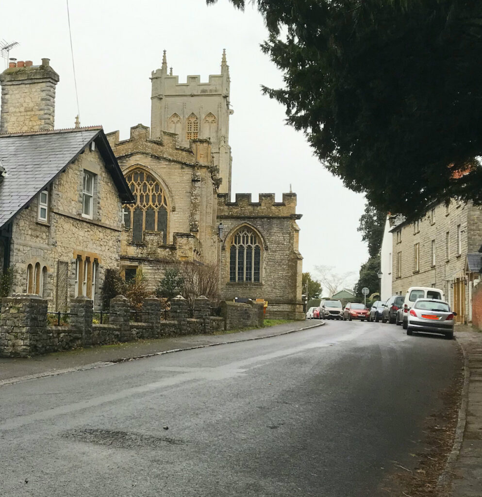
There is little to see in today’s Langport to remind us of its Saxon past, but we can look for clues in things like road layout, the river, the position of the church etc. Langport is not far from Somerton and one of its functions may have been to protect that place, with another function being to act as a port for Somerton, because it is on the Parrett (although note that “Port” can also mean trading place in addition to what we today think of as being a port). The River Yeo flows into the Parrett just south of Langport, which provided it with a connection to another important location – Ilchester. However, we must be careful in this area when describing water courses as the Somerset Levels would have not been drained at this time.
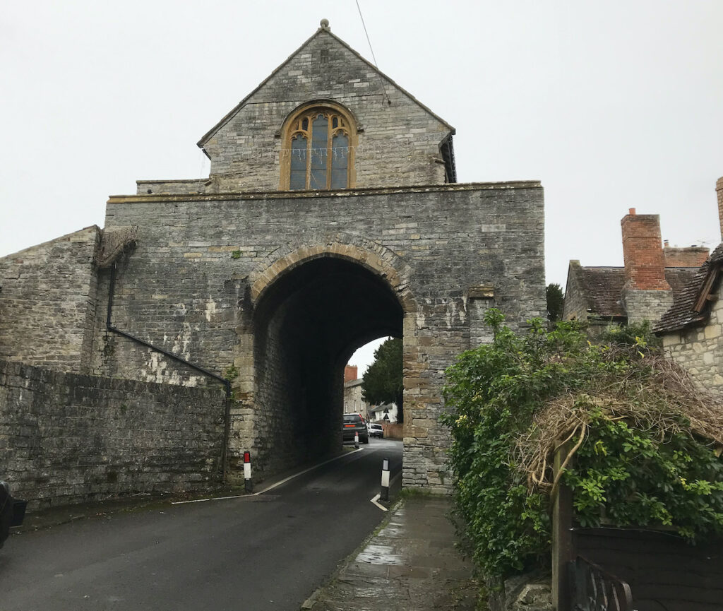
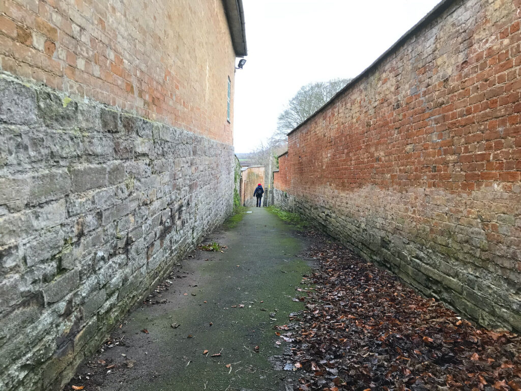
It is speculative, but it seems possible to infer a possible Saxon burh on the area around the hill on which All Saints’ Church is located, with the eastern boundary being in line with the Hanging Chapel, the western boundary being at the junction of The Hill and North Street, and perhaps the northern extent being at the end of the pedestrian route called Priest’s Lane.

This area is, of course, well away from the river and it seems unlikely that there would not have been a settlement near the river as well (wherever that precisely was at that time). Indeed, it has been suggested that the name Langport literally means a long port (with port in this case meaning a trading place), and that this is because there could have been a long market along the long Bow Street. This seems plausible. I have also seen it suggested that the “lang” element is related to the Welsh word for boat (llong). This word may have been part of the Celtic vocabulary so cannot be ruled out, although it seems less likely to me than the perhaps more obvious “long port”.
