In search of Egbert’s Stone. Part 1: The meeting point of Dorset, Wiltshire and Somerset.

This post is adapted from my book, King Alfred: a Man on the Move, available from Amazon.

It would be great if you could support this project by purchasing a copy.

The Anglo-Saxon Chronicles refer to Egbert’s Stone (Ecgbryhtes stan) as the place where the armies from Somerset, Wiltshire and  part of Hampshire came together to fight alongside Alfred  after he had left Athelney in the seventh week after Easter in 878, en route for the important and decisive battle at Ethandun where the Vikings were defeated. It is notable that  Dorset is not mentioned. However, Dorset may be an omission because Gaimar indicates that this county was involved.

Tradition has it that King Egbert, Alfred’s grandfather,  marked the point where Dorset, Somerset and Wiltshire met with a large stone on the bank of the River Stour. However, it may be unreliable to assume that the counties met at the same location in Egbert’s or Alfred’s time. The woodland then would have extended further south ( as indicated in this book) into today’s Dorset, and because there is some evidence that the edges of the wood were used as boundaries, it is possible that the border could have been further south than it is today. However, I have not seen anything to indicate where any older of boundary might have been. Indeed, it seems that the boundary of Dorset suggested by the Domesday survey of 1086 is more or less unchanged up to Speed’s 1610 map of Dorset, and largely similar to today’s boundaries (allowing for the addition of Christchurch from Hampshire in 1974 and the reversion of Dorset and Devon exclaves to their respective counties in the 19th century). It therefore seems more likely to me that the position of the Dorset border in the north is more or less in the same place as it was in King Alfred’s time. 

I drew upon John Peddie’s reference (in this book) to Coombe Street, which is west of Zeals and north of Bourton, as a claimed location. Travelling west, the road crossesthe river where a sign indicates that you have arrived at Pen Selwood. The Stour is narrow at this point, which is unsurprising as its source is at nearby Stourhead. However, I saw no evidence of a significant stone.

The River Stour at Coombe Street near Pen Selwood. No Egbert's Stone to be seen.
The River Stour at Coombe Street near Pen Selwood. No Egbert’s Stone to be seen.

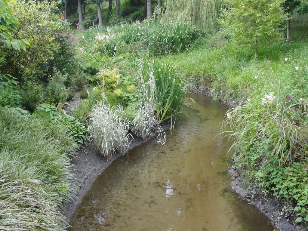
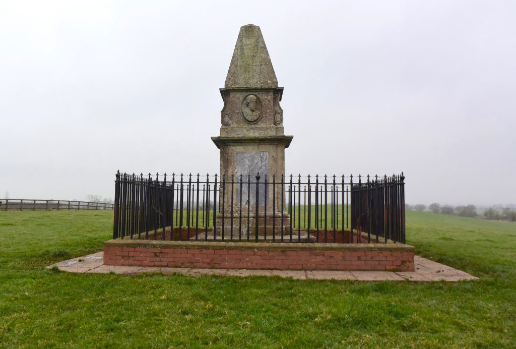
There seems to be an impression locally that a stone at Bullpits Golf Course is Egbert’s Stone. However, I have been told that this is not the case. Nearby Factory Hill crosses the Stour at a point where there was once a mill. When I visited this area it was in the process of being developed for housing. There is a footpath that comes off Kite’s Nest Lane that takes you close to where the three counties meet and water can be seen to your right as you walk up. However, maps show that the exact point at which the three counties meet is very close by but on private land, so I was unable to establish whether there was a stone there, although Phelps in his history of 1836 states that “the three shire-stones” stand in the middle of a pond belonging to Messrs Maggs’ spinning manufactory – which I feel could be the same place. However, the quest was not necessarily to find the stone but to find where Alfred brought his troops together, and if this indeed took place where the three counties now meet, then I was satisfied that I had found the spot. 

The White Lion Inn at Bourton, north Dorset. A lovely place to take a break from explorations, and the food and beer are superb.

However, it seems logical that Alfred would have used a meeting point that was strategic in terms of routeways and other factors rather than an obscure location where three administrative boundaries now meet.  From the evidence available, it also seems difficult to define this as east of or in the eastern part of Selwood, which is required in order to fit Asser‘s and the Anglo-Saxon Chronicles’ descriptions of the location. For these reasons I consider this site to be a less likely location for Egbert’s Stone.

We need to remind ourselves of the size and shape of Selwood. Towards its southern extremity it extended eastwards across to at least Gillingham Forest (Source: Hutchins, History and Antiquities of Dorset, 1774) and further north, in Wiltshire, it extended east at least as far as Warminster. We know this because the following settlements answered at the forest eyre 1187-90:  Heytesbury, Knoyle and Westbury. The following villages etc were represented at forest inquisitions: Longbridge Deverill, Sutton Veny, Warminster, and Westbury  (source: Victoria County History. Wiltshire Volume IV, 1959)

It is possible that somebody wished to mark the junction of the three counties with a stone and that this has somehow become tangled up with the record of Alfred’s assembling of troops from different counties. However, the Anglo-Saxon Chronicles do not include Dorset as a county providing forces (although Gaimar does), which further weakens the case for Egbert’s Stone being located here.

Michael Wood, the historian and television presenter, attributes the location of Egbert’s Stone to Penselwood, which is very close to the junction between the three counties, although I don’t know whether that was the reason why he chose it. Pen Selwood is also the supposed location of the Battle of Peonnum, which had been an important victory for the Saxons in 658. However, this was before the time of King Egbert so I cannot see how his name would have become associated with this.

Parts two and three of my Egbert’s Stone posts are now available.

Superb Egbert's Stone Ale, made by the Copper Street Brewery in Dorchester, Dorset, on the pump in the lovely Royal Standard pub, Upwey, Weymouth.
Superb Egbert’s Stone Ale, made by the Copper Street Brewery in Dorchester, Dorset, on the pump in the lovely Royal Standard pub, Upwey, Weymouth.

You can view my video on Egbert’s Stone below:

There is much more about the travels of King Alfred in my book, including maps and references. Tap or click the image below to learn more about the book.

Athelney. Alfred’s Refuge on the Somerset Levels.

This post is adapted from my book, King Alfred: A Man on the Move, available from Amazon. It would be great if you could support this project by purchasing a copy.

Athelney is where King Alfred developed a fortification at Easter 878, at a time when Wessex had fallen to the Vikings, and it was from here that Alfred set out on the successful reconquest of his kingdom.  You will rarely find anyone else here at this important location.

The route up to the King Alfred the Great monument at Athelney, Somerset Levels. Just me and the sheep.

When you are at the site it is apparent that Athelney has two small summits, which was enough to make this location an island in the watery Somerset levels. It is suspected that Alfred’s 878 fortification was on the western summit, while the abbey, founded later by Alfred in around 882, was on the eastern summit, where a monument to King Alfred now stands. This abbey was later replaced by a medieval monastery, although there is nothing visible above ground today. Paragraphs 94-97 of Asser (King Alfred’s “biographer”) describe an attempted murder of the abbot, John the Old Saxon, by two monks, while Alfred was king. This abbey was well endowed; Asser (99-102) tells us that, in combination with Shaftesbury Abbey, it received one eighth of King’s Alfred’s taxation income. 

The King Alfred the Great monument at Athelney, Somerset Levels.

I got to this location by taking Cut Road from East Lyng and parking near Athelney Farm. The site is on private land but there is a signpost indicating a route  to the monument. Athelney Hill can also be observed from the lay-by on the nearby A361. It’s elevation above the surrounding area is immediately obvious, and one can see the elevation of Burrow Mump not too far away to the north east, which suggests to me the possibility that this other site may have been used for advance defence and signalling back to Athelney. There is other high ground in the area, such as Windmill Hill to the south west, Oath Hill to the south east, and, slightly further and east of Aller village, the high ridge of Aller Hill. Any high ground could have had strategic importance for protecting Athelney. Asser records that Alfred struck out at Vikings from Athelney, which indicates that Vikings had  been in the vicinity.

The bust of King Alfred the Great on the monument at Athelney, Somerset Levels

There is evidence that Athelney had previously been an iron age fortification and therefore Alfred was bringing this defended site back into use. Evidence of metalworking at the western summit suggests that weaponry may have been manufactured here to be used in Alfred’s reconquest of Wessex.

There is also a record of a hermit called Æthelwine living at Athelney in the 7th century. Perhaps importantly, this Æthelwine is said to have been the son of Cynegils, king of the West Saxons, and the brother of the next king, Cenwealh. Athelney may therefore have been a royal site known to Alfred, and this may parhaps help explain why he chose this particular location. Alfred’s construction of an abbey here may therefore have been an enlargement of an already significant religious site.

Athelney, called æþelingaegge in the Old English of the Anglo-Saxon Chronicle, is derived from Old English Æðelinga eg with the first word indicating a royal connection (and  eg meaning an isle). The impression gained from both the Anglo-Saxon Chronicle and Asser is that this site was already called this when Alfred arrived, rather than it having been given this name retrospectively because Alfred had been there. This is consistent with the hermit Æthelwine being very closely related to the kings of the West Saxons. It is recorded in the Anglo-Saxon Chronicles at 658 that King Cenwealh, the brother of the hermit Æthelwine, fought against the Britons (Walas) at Penselwood (peonnum), in Somerset, and that he drove them as far as the Parret. With Athelney not far from the Parret, it might have been about this time that Athelney developed it’s West Saxon royal associations.

If Alfred had been at Chippenham when the Vikings attacked at Twelfth Night in January 878dc, the most obvious escape route would perhaps have been to get to Bath and then go down the Fosse Way. However, he could have  taken a Bath to Badbury Rings route and diverted into Selwood Forest. From there he could have made his way across to Athelney by Easter. This route would satisfy Asser’s description of Alfred being in woods as well as defensive positions in swamps or moors. Alternatively, he could have headed straight for the marshes of the levels, only to build the fortress later at Easter. There is also the possibility that he initially went further west into Devon. Ultimately, we do not know where Alfred was between January 878 and Easter 878.

The Anglo-Saxon Chronicle tells us that Alfred left for Egbert’s Stone in the seventh week after Easter. Alfred was therefore at the fortress at Athelney for about seven weeks, although of course he could have been at Athelney prior to the fortress being built.

Even with the Somerset Levels drained it doesn't take much for the water around Athelney hill to appear again.
Even with the Somerset Levels drained it doesn’t take much for the water around Athelney hill to appear again.

The legend of Alfred burning the cakes when he was put in charge of them by a peasant woman has become associated with his time at Athelney. However, there is no evidence that this baking mishap ever occurred. The earliest known version of the story of the cakes is in the anonymous Vita S Neoti (Life of St Neot), which appears to have been put together in the late tenth century.

Athelney was connected to nearby East Lyng by a causeway. East Lyng, the causeway, and Burrow Mump will be the subject of a different blog post.

Time Team visited the site on two occasions and the videos (first and second) are well worth watching. On the second visit they found human remains at the part of the site where the abbey was located. At least one of these was over the site of an earlier wall indicating that the remains post-dated that part of the abbey structure. The remains of a child was also found. I am not aware of any carbon-dating or isotope analysis having been carried out. However, it seems likely that the remains are associated with the abbey rather than earlier remains from a hillfort or from a conflict at the location prior to the construction of the abbey.

There is much more about the travels of King Alfred in my book, including maps and references. To learn more about the book, click or tap the image below.