King Alfred’s Navy. The lost battle site of 896AD

This post on King Alfred’s navy and the lost battle site is adapted from my book, King Alfred: A Man on the Move, available from Amazon and book shops.

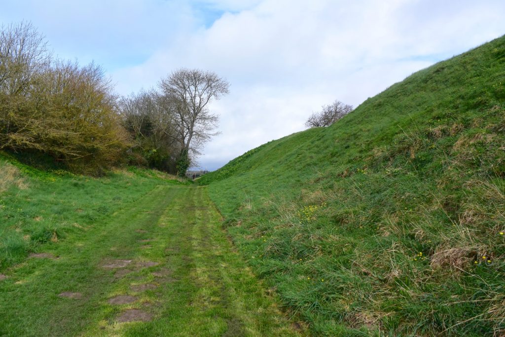
In 896 there was an engagement between King Alfred’s navy and a Viking fleet of six ships that had arrived at the Isle of Wight and had caused harm all along the coast as far as Devon. It seems that Alfred could not have been present at this engagement because some of the fleeing Vikings were captured and taken to him at Winchester where he had them hanged. The few geographic clues provided by the Anglo-Saxon Chronicles have led to speculation that the engagement took place in Poole Harbour or Christchurch Harbour in Dorset. The Anglo-Saxon Chronicles refer to an ufeweard muða (ð is pronounced “th”) and it has been suggested that this means an “upper harbour.” However, I found it striking that there is an area on the north side of the harbour in Christchurch called Mudeford, with a River Mude running through it and into the harbour. Could this be the muða referred to in the Anglo-Saxon Chronicles?

The River Mude flowing into Christchurch Harbour

Although I have seen it claimed that muða could also mean river, we know from elsewhere in the Chronicles and other documents that rivers were sometimes referred to by their name and that muða appears to usually mean mouth (the similarity between muða and mouth is not a coincidence) with the term for river generally being ea. Furthermore, if muða had been a generic term for river, we might expect to find other survivors such as is the case with the Brittonic language-derived Avon. However, I was unable to find any other examples of a River Mude in England. Update: I have had access to a 1797 map that shows the location as “Midde Ford”, which seems to sever the relationship of the place-name with muða.

View of Christchurch Harbour, taken from an aeroplane at dusk.
My photograph of Christchurch Harbour, Dorset, taken from an aeroplane at dusk.

The Anglo-Saxon Chronicles tell us that Alfred’s ships blocked the Viking ships in so they could not get to the uter mere. It seems unclear to me whether uter mere means “outer lake” or “outer sea”. However, the usual term for the sea in the Anglo-Saxon Chronicles is , with mere usually meaning a lake. Nonetheless, the Vikings had been blocked into the river and when the tide went out three ships were beached at the upper river mouth and three came forward to attack (making six, matching the number recorded as coming to the Isle of Wight). It appears that at least two Viking ships managed to escape from the trap because we are told that two of the fleeing Vikings crews came ashore in Sussex because their ships were in a poor state. King Alfred had these men hanged at Winchester. It has been suggested that they came aground while trying to get past Selsey Bill. These Vikings would therefore have come aground in Sussex somewhere between East Wittering and Selsey. That they came ashore in Sussex perhaps also makes it less likely that the battle had taken place in distant Devon, after which they would have had to round Portland Bill (or drag their boats across the causeway), near Weymouth in Dorset, first.

Poole Harbour, Dorset, taken from an aeroplane at dusk
My photograph of Poole Harbour, Dorset, taken from an aeroplane at dusk

Perhaps the clue to potential locations for this battle lies in the fact that there were only six Viking ships. We know that Wareham (with access to Poole harbour) and Christchurch are listed in the Burghal Hidage (a list of places defended by King Alfred after 878), and would therefore probably have been defended by 896. It does not seem to make sense to me that the Vikings would have ventured close to defended locations with just six ships.

Weymouth, Dorset

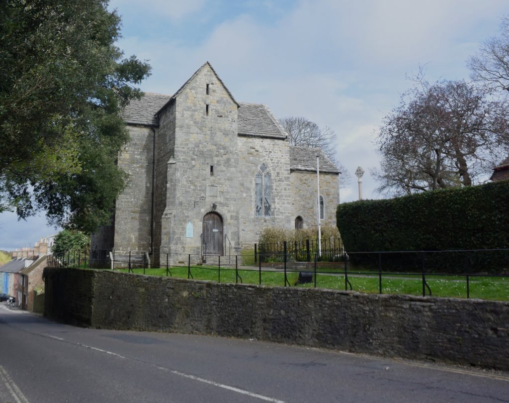
Perhaps the Dorset coastal town of Weymouth (not in the Burghal Hidage, so perhaps a weak point) should be regarded as a possible site. Radipole Lake, fed by the River Wey, is connected to the sea via the town harbour, and one of Athelstan’s charters refers to all the water within the coast of Weymouth, indicating that there was an inland body of water here in Anglo-Saxon times. Indeed, it is thought that the Romans may have had some sort of port at the head of this body of water, and a Roman road ran north from near here to Dorchester. At least parts of this route appear to have remained in use today, which suggests that it might have been in use in 896, thus providing access to any Vikings that intended to raid Dorchester. This area is no stranger to Viking threat. In 840 the Vikings landed at nearby Portland, with fatal consequences for the locals, and in 2009, during construction of the Weymouth Relief Road, near Upwey, fifty-four skeletons of executed Vikings were found, although these dated to a later period than that of King Alfred. Because I live near here, I cannot resist drawing to your attention how rich the South Dorset Ridgeway is in ancient, although very much pre-Alfred, sites. For those who are interested in this, I find this blog particularly good.
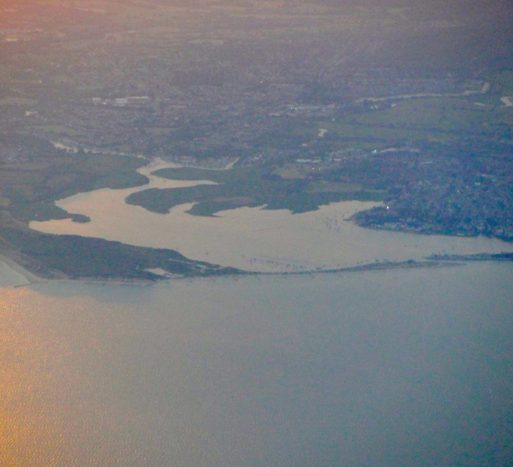
The Isle of Wight

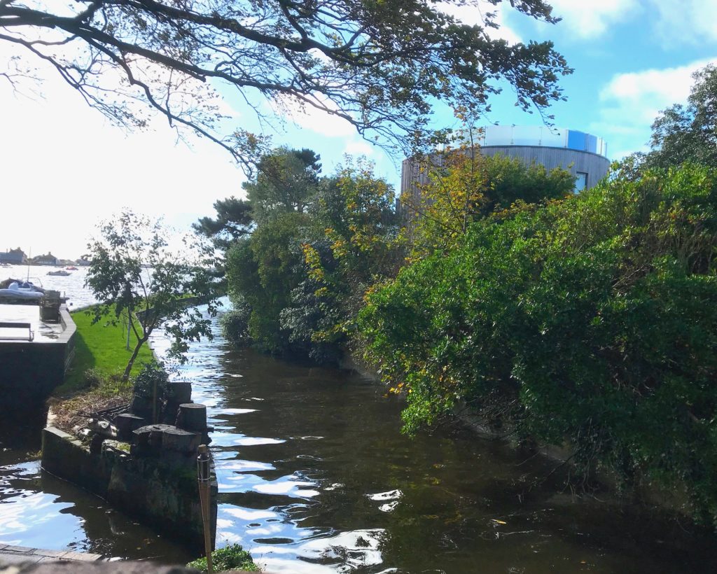
However, it seems to me that it is more likely that the events took place at one of the main rivers, including the River Medina, that flow into the Solent on the north coast of the Isle of Wight. The Anglo-Saxon Chronicles do not state that the engagement took place during a Viking raid on the coast of the mainland, although it is easy to assume this because the Chronicles tell us that the Vikings had been undertaking such raiding. It is an interesting coincidence that the Old English term for the River Medina was Meðume, not terribly different from muða. An old map of the Isle of Wight suggests that the main waterways may have had constricted entrances to the sea, thus meeting the description of the location in the Anglo-Saxon Chronicles. It seems to me that King Alfred’s Navy, improved after 878 AD, had managed to root out a small Viking base that had set itself up on the Isle of Wight.

My book mentions a few other locations on the south coast that could have been the site of the engagement between King Alfred’s navy and the Vikings. It also contains much more about Alfred’s travels, and contains maps and references. Tap or click the image to learn more.

King Alfred and the history of Wareham

This post is adapted from my book, King Alfred: A Man on the Move, available from Amazon.

The history of Wareham is fascinating and the town and nearby Poole harbour are lovelyplaces to visit. However, not everybody will be aware of the dramatic events that took place here in the 9th century.

Wareham Quay, the Purbecks, Dorset, viewed from the south bank of the River Frome. The Vikings may have disembarked here.

Wareham had been occupied by the Vikings in 875, but Alfred  made piece with them in 876 when the Vikings swore on the halgan beage (holy ring) that they would leave Wessex. However, they left under the cover of darkness and went instead to Exeter, in Devonshire but also part of Wessex. The Anglo-Saxon Chronicles tell us that the Vikings had  given hostages to Alfred as part of the deal, and that these men had been the worthiest in the Viking army. We cannot be sure if this ring was presented in the negotiations by Alfred or by the Vikings, or who it was “holy” to, if not to both parties. It is possible that either the Vikings or Alfred had access to a holy ring as they travelled from place to place. If it was a Viking ring, then Alfred clearly must have had the upper hand to make them swear on it, which would fit with the fact that Alfred was also given important hostages, which could be killed if the Vikings reneged on the deal. The Vikings must have seen Exeter as a great prize if it meant sacrificing  their worthiest men. One can imagine how the Vikings might have viewed the subsequent loss of 120 ships near Swanage in a storm as they fled to Exeter as divine retribution for breaking an oath sworn on a holy ring.

On balance it seems to me that this ring was presented by Alfred. The Anglo-Saxon Chronicles refer to it as “holy” and it seems unlikely to me that something un-Christian would be referred to in this way.

Wareham, the Purbecks, Dorset. A view of Lady St Mary's church from the south bank of the River Frome. Was this the heart of early to middle Saxon Wareham?
Wareham, the Purbecks, Dorset. A view of Lady St Mary’s church from the south bank of the River Frome. Was this the heart of early to middle Saxon Wareham?

But, what was at Wareham when the Vikings attacked? Asser describes Wareham as a castellum (fortification) and the location of a convent for nuns. We know that Alfred embarked on a programme of defending settlements after 878 and it is thought that the origins of the walls that we see today were built then, although we know that they were modified over subsequent centuries. The fortification referred to by Asser is therefore probably not the same as the walls we see today. Castellum could also relate to an ancient or Roman construction, for which there is no remaining evidence, or even Saxon pre-878 defences developed because of a specific risk of Viking attack.

Wareham, the Purbecks, Dorset. The north stretch of the Saxon wall, with the River Piddle disappearing off to the west.
Wareham, the Purbecks, Dorset. The west section of the town's Saxon wall
Wareham, the Purbecks, Dorset. The west section of the town’s Saxon wall

However, things become even more complicated when we look at Æthelweard’s chronicle. He describes the Vikings moving down from Cambridge to near  (iuxta) Wareham and occupying a location alongside (coniecit statum communem cum) a Western Army. There appears to be a significant difference between Æthelweard and Asser as the latter states that the Viking army enterred (intravit) the castellum of Wareham. However these two sources may just be providing two snapshots of a sequence. Taking it all together it appears that the Vikings camped outside of the settlement of Wareham and then took it over, perhaps after besieging it.

But where did the Vikings camp and how did they get there? We know that there must have been a combined land and sea force because that is what left Wareham when they fled to Exeter. We also know that the seaborne force must have been considerable because the Vikings lost 120 ships in a storm near Swanage when fleeing. The ships must have come in to Poole harbour, and perhaps they would have taken some ships up the Frome in order to get closer to Wareham. Presumably, with that many ships, they would have defended their rear by perhaps occupying Brownsea Island and the harbour entrance. This would have been a most serious situation. Try to imagine today over 120 Viking ships in Poole harbour. In fact there would have been more than this as 120, the only figure that we have, is the number that sunk in the storm of Swanage. It is unlikely that all Viking boats had sunk. And on top of this was the  land-basedViking army. It is difficult to see that the native settlement at Wareham would have had a chance. The Vikings broke their oath when they fled to Exeter, but Alfred’s intervention had saved Wareham, and we must remember that when the Vikings got to Exeter they had to deal with Alfred again, and this time they did leave Wessex.

How the Viking land-based forces got to Wareham must be very speculative. There may have been a Roman road from Wareham to Woodbury Hill, near Bere Regis. This may have been in use in Alfred’s time because there is still today a straight road that heads in that direction. However, this seems to be in the wrong place (being north-west instead of north-east) if they had come from Cambridge. There is nothing to indicate where Alfred had travelled from.

The nearby church of Lady St Mary, although subject to much rebuilding, has an important history going back to at least the 8th century. Inside the church are several pieces of masonry that are dated to Anglo-Saxon times.

Wareham, the Purbecks, Dorset. Lady St Mary's church. There would have been a church here at the time of King Alfred the Great.
Wareham, the Purbecks, Dorset. Lady St Mary’s church. There would have been a church here at the time of King Alfred the Great.

Another important location in the history of Wareham is the very old St Martin’s church, . This church is generally locked outside of the main tourist season, but there is usually an indication of where to get the key in normal trading hours (it is kept in a shop). It is thought that the current building dates to about 1030. The church also contains important 12th century wall paintings.

Wareham, the Purbecks, Dorset. St Martin's church
Wareham, the Purbecks, Dorset. St Martin’s church

One version of the Anglo-Saxon Chronicle (E) tells us that King Edward the Martyr was initially buried at Wareham after he had been murdered at nearby Corfe in 978. Although he was later transferred to Shaftesbury, his initial burial would probably have been at or near the site of St Mary’s church. The “A” manuscript of the Anglo-Saxon Chronicles tells us  that King Beorhtric of Wessex had died in 802 and the entry for 786 tells us that his body lies at Wareham (confusingly telling us where his remains are before telling us that he died). The Anglo-Saxon Chronicles for this period are thought to have been composed in the very late 9th century, so it seems that he was not translated in the intervening period to Shaftesbury, Wimborne or Sherborne. The implication is that Wareham may have been a much more important place than it seems to us now. Perhaps Viking raiding had something to do with its loss of status, although it should be born in mind that by the time of the Domesday survey Wareham had two moneyers.

This was not the last that Wareham would see of the Vikings. They attacked Dorset again via the Frome, which then runs past Wareham, in 998 and 1015.

A sword was found in 1927 while widening a bridge. This sword is thought to be Saxon, but some have indicated that it might be Viking. There are inscribed stones in Lady St Mary’s church that are believed to derive from the 7th to 9th centuries (RCHM Dorset, Vol2 Part 2). Unfortunately, what remained of the Saxon church was demolished in 1842. It is thought to have been of a similar size to the current church (RCHM Dorset, Vol2 Part 2). It must have been an impressive Saxon church, sadly no longer. 

You can view my short video on Wareham here:

There is much more about the travels of King Alfred in my book, including maps and references. Click or tap on the image below to learn more about the book.